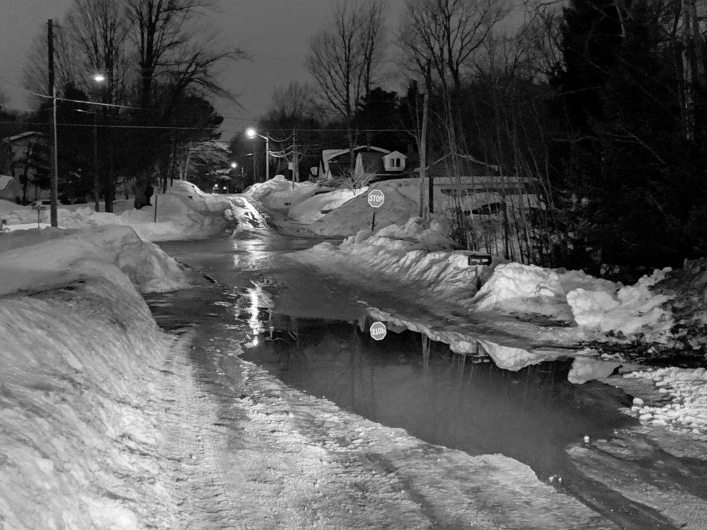
Slush-covered streets, the sound of water trickling into storm drains and puddles deeper than a foot. These could be signs of an approaching spring season or the aftermath of the third-snowiest month on record.
According to National Weather Service of Marquette meteorologist Keith White, the increased snowmelt and runoff are a result of temperatures above freezing combined with rainfall, conditions that have had Marquette under a flood watch since Tuesday.
“There’s no place for all this water to go, we don’t expect to see any major impacts,” White said. “The flood watch is just a heads-up for the potential of flooding impacts; a flood warning means there is already flooding.”
White said a flood watch will stay in place today until Friday morning because temperatures today could range from 40 to 50 degrees Fahrenheit and 0.3 to 0.6 inches of rain could fall before 2 p.m., increasing the rate of snowmelt and the flow of runoff.
White further predicted that as temperatures lower tonight, scattered rain showers could turn into snow-flurries. Conditions Friday morning could be dangerous due to water from melt on roadways freezing.
“Rain and runoff can also bring a potential for ice-jamming on rivers and streams,” White said. “But we’re not expecting larger rivers to flood because they’re frozen over.”
White added about 5 to 6 inches of snow melt and compaction had occurred before Wednesday, according to measurements at the National Weather Service Station in Negaunee.
Despite the mid to high 40-degree Fahrenheit temperatures Wednesday, Marquette Public Schools was closed due to “the icy conditions of the side and back roads.”
Wednesday’s continued warmer temperatures and scattered rain showers caused snowmelt and runoff water to pond on city and township streets. A nearly two-feet deep puddle of water on Center Street was reported to and confirmed by the National Weather Service of Marquette, according to White.
“We also received reports of minor basement flooding and structural collapses from the weight of melting snow,” White added.
White predicts colder temperatures will return this weekend, turning standing water on roads and sidewalks into ice.
“Slow down on icy roads and wear shoes that are slip resistant,” White said. “Be cautious and be aware.”


