One of NMU’s main allures is Marquette’s natural landscape. There is no shortage of trails, beaches and parks to visit when in the area. From sight seeing, hiking, swimming and more, there are many options inside and outside of town to explore.
Hogback Mountain
This hike often falls under the difficult category with the peak reaching 600 feet above surrounding terrain overlooking Lake Superior. Hikers should allot anywhere from 45 minutes to an hour and a half to complete the 2-mile trek to the top for an unbeatable view. The trailhead for Hogback is located off an unmarked road on the left side of County Road 550 about a 0.5 miles north of Sugarloaf. The trails are far less traveled than those of Sugarloaf and the last half mile of the climb can require a little climbing with the use of hands for stability.
McCarty’s Cove
Looking for a beach not far from campus? McCarty’s Cove is about a mile away from NMU located on North Lakeshore Boulevard in perfect walking distance. There’s a beach volleyball net and a great view of the Marquette Harbor Lighthouse.
Sugarloaf Mountain
One of the more well-known hikes among tourists, Sugarloaf is a half a mile hike, 470 feet above Lake Superior, assisted by stairways in most parts. Hikers are offered a choice between difficult and easy at the base, but both trails meet up at a set of stairways that goes all the way up to the peak. It takes about 15-20 minutes to reach the viewing stations at the top which overlook Lake Superior and the city of Marquette.
Dead River Falls
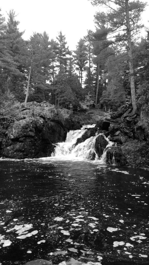
Right on the edge of town there’s a string of waterfalls accessible by a trail. The trail isn’t extremely difficult but there are a few steep hills to be aware of and parts of the path are eroded. The beginning of the trail can be found at the end of County Road Highway where there’s a parking loop next to a gravel hill. At the top of the gravel hill there are a set of stairs a couple feet to the left.
Top of the Word
Off of Harlow Lake Road is about a one-mile long dirt road up to a scenic viewing rock known as Top of the World. An all terrain vehicle is highly recommended to maneuver the dirt road to the top. However, visitors can also park at the base of the road by Harlow Lake and walk the mile for a great view.
Little Presque Isle
Two miles north of Sugarloaf Mountain, take a right at the Little Presque Isle sign onto a dirt road. It is possible to get to the island if you walk through a couple feet of water on a straight between the mainland and the island. Be sure to take the trek on a calm day because there can be deadly currents.
Presque Isle
Just past the lights of the ore dock is the Presque Isle peninsula that has attractions like the breakwall, Sunset Point and Black Rocks. On the west side of the island is a place to park and watch beautiful sunsets on Lake Superior. Black Rocks can be reached by a trail on the north tip of the peninsula. There are plenty of tables to have a picnic with a serene view.


